
|
|

Main Menu
We are an ARRL
Sanctioned Event
for

| Depending on which direction you come up the mountain, there should be some photos here that will help you find the Lutheran Camp | |
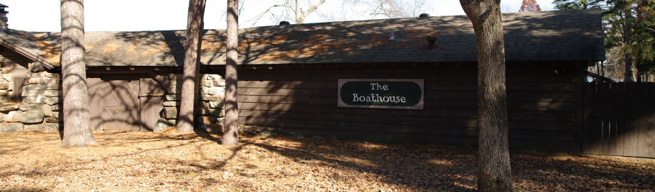
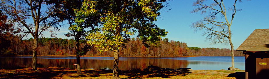
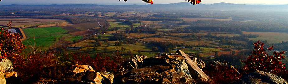
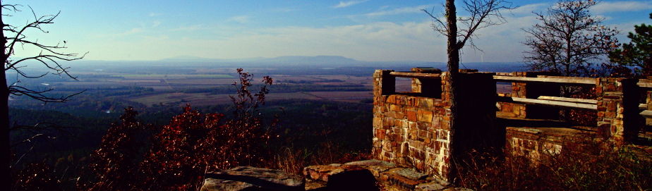
| All photos taken with courtesy of P. Clay Sherrod, Petit Jean Mtn | |
|
1) photo at very top of east end of mountain (coming up from Morrilton) showing to stay on Hwy 154
|
2) sign at intersection of Red Bluff Drive and Hwy 154 at pavilions in park (at Davies Bridge) traveling westward
|
|
3) close-up of westward sign at Red Bluff Drive (#2)
|
4) sign at intersection of Red Bluff Drive and Hwy 154 at pavilions in park (at Davies Bridge) traveling EASTWARD
|
|
5) close-up of eastward sign
|
6) showing road coming off Hwy 154 (Red Bluff Dr.) going over Davies Bridge
|
|
7) intersection of Red Bluff Drive and Montgomery Trace (right after Davies Bridge) at junky old Red Bluff Diner
|
8) close-up of sign (#7) at old Diner... turn RIGHT
|
|
9) driving NORTH on Montgomery Trace toward Lutheran camp, just past Red Bluff Diner (triangle sign is Lutheran Camp)
|
10) TURN HERE sign for Lutheran Camp
|
|
For directions to the State Park at Petit Jean, click here. |
|


Website Copyright © Randy Griffin Memorial Radio Club - This page updated on September 19, 2021